Our Projects

High-Accuracy Project Execution
Powered by Leica & GeoMax.

MSI delivered turnkey civil engineering works in Muscat, including water pipeline and pumping station construction with full QHSE compliance.

Date

August 2023

Project Summary.

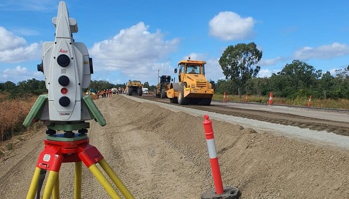
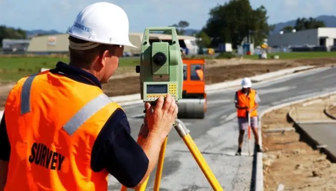
Muscat Stars Investment (MSI) delivered multiple engineering and infrastructure projects across Oman using high-accuracy digital surveying solutions powered by Leica Robotic Total Stations and GeoMax GNSS technology. These tools enabled MSI to execute precise layouts for roads, pipelines, pump stations, and critical infrastructure with sub-centimeter accuracy. This technology-first approach significantly enhanced construction efficiency, reduced rework, and contributed to smarter, faster project delivery aligned with Oman Vision 2040.

Scope of Work
  • Digital site control using GeoMax Zenith40 GNSS receivers (RTK-based)
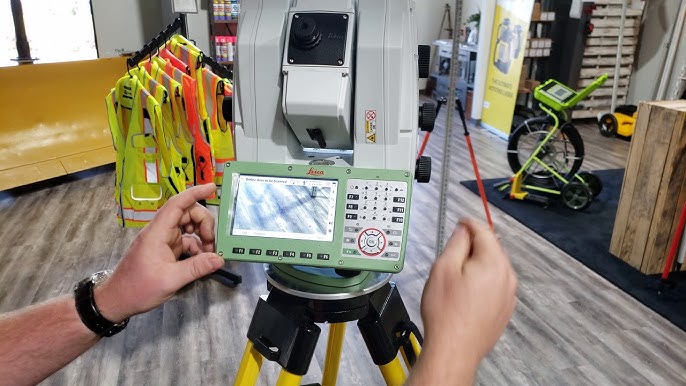
  • Robotic layout and one-person stakeout using Leica TS16
  • Real-time field validation, alignment, and as-built mapping
  • BIM-to-field integration using Leica iCON software
  • GNSS and total station hybrid workflows for mixed terrain
  • Full data export to AutoCAD, Civil 3D, and GIS formats
Key Achievements
  • Highway median and alignment layout in Al Khoudh 6 using Leica robotic station
  • Pump station base and anchor point validation in Al Hail
  • Trench slope surveying for water infrastructure in Seeb
  • Underground duct marking for Airport Freezone using GNSS
  • Machine control prep for future smart paving and slipform works
Accuracy Metrics
  • Horizontal Accuracy = ±3 mm
  • Vertical Accuracy = ±2 mm
  • Rework Reduction = ~38%
  • Time Saved per Site = ~24 hours/week
  • Field-to-Design Conformance = 99.7%
We do It Better

Delivering critical utilities with quality, precision, and long-term value.

Sustainability Contribution

At MSI, our commitment to sustainability goes hand-in-hand with our precision engineering practices. By utilizing advanced surveying technologies such as Leica Geosystems and GeoMax, we minimize environmental disruption during construction planning and execution. This data-driven approach enables accurate land assessments, reducing the need for repeated site visits, material waste, and fuel consumption. Aligned with Oman Vision 2040, our operations support smart infrastructure development that respects natural landscapes while enhancing long-term resilience. Through projects like these, MSI champions a future where innovation, efficiency, and environmental stewardship intersect to build a more sustainable Oman.
Project Brief
Download PDF
3D Smart Modeling
Learn More